Methods
Tempelhof Field offers a wide range of geographic perspectives that can be explored. Methods of data collection depend on what topics and research questions are being explored. There is a wide range of research methods that can be used and often a combination of methods (mixed methods) are used to provide more evidence including different dimensions of the issue under investigation.
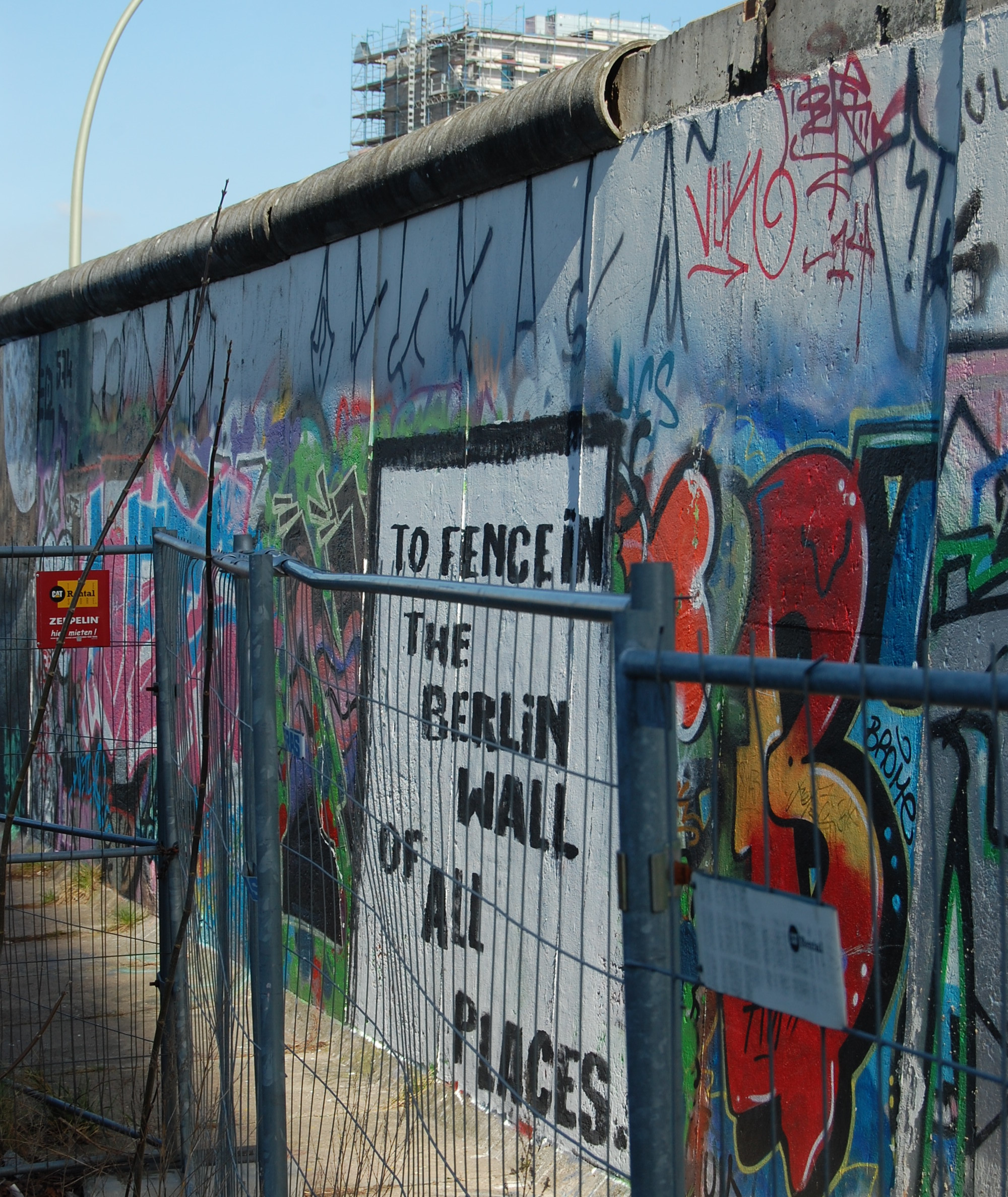
Field work often involves the collection of primary data, which is data you collect yourself. This might include information collected through observations, interviews, surveys but also reflective journals. You might also want to consider secondary data which has been generated by others. Historical documents from the archives, newspaper articles and social media or visuals such as photographs can provide important insights.
This page provides starting points to a number of research methods that can be applied to the site.
Archives
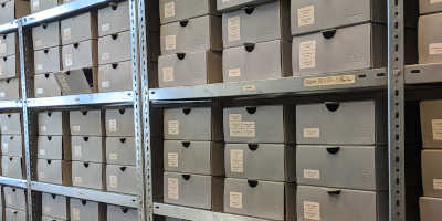
Archival material including maps, photographs, accounts, diaries but also including material relicts provide a rich resource to reconstruct past events and to understand contexts. Tempelhof Airport has its own archive documenting the development and changes of the airport over time. There are also online resources you can explore.
Observations
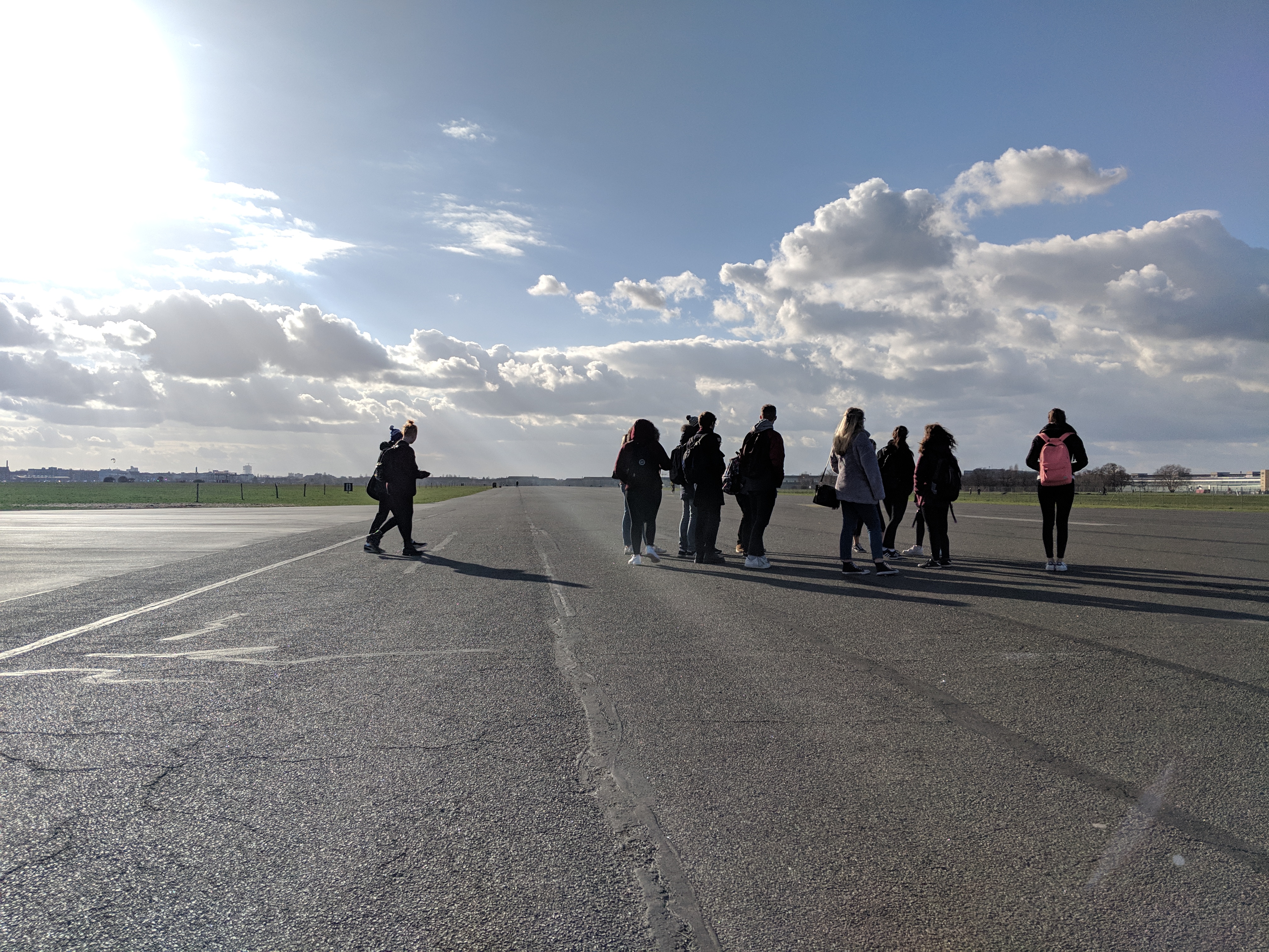
Almost all geographic field work in particular when focused on specific sites will include some form of observations. At the Tempelhof Field, there is much to observe in terms of features and land uses.
Reflective writing
From a social science perspective, data collection in the field cannot fully be separated from the researcher. Who we are, our experience and knowledge of the local culture will impact how we experience and understand the field. Reflective methods help us to understand our role but can also serve as a data source for analysis itself.
Interviews and surveys
Interviews and surveys are a common method of primary data collection. They allow to collect information on people’s motivations, opinions and habits.

Visual media
Photographs and videos can be used to collect and analyze data but also to present findings or communicate results to different audiences.
Storymaps
Mapping is probably the most common form of representation associated with geographic work. Beyond providing information on spatial location and relations, they provide a way to present content.