Stories
A brief history of Berlin Tempelhof Airport
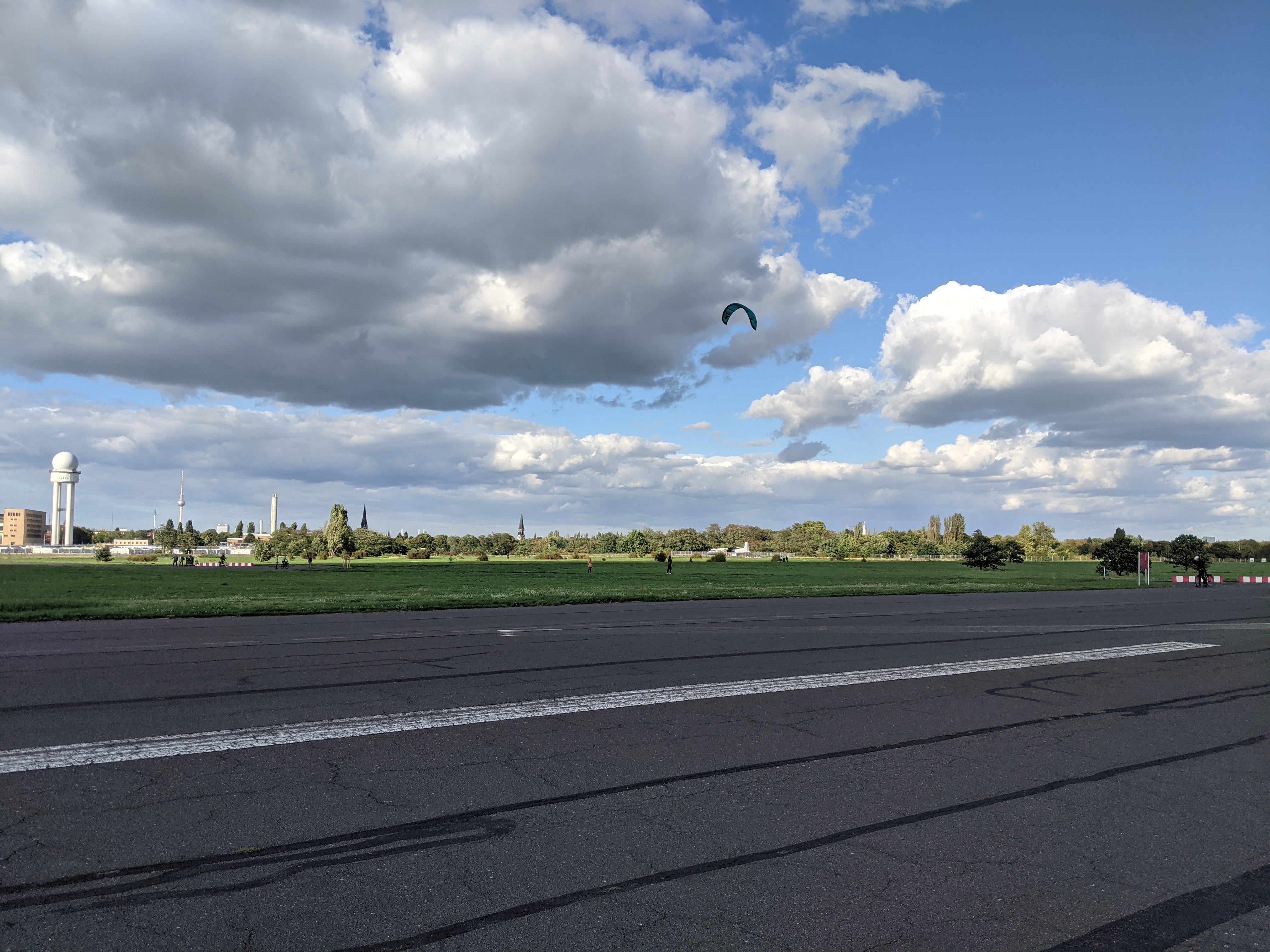
Tempelhof Airport as a site was first mentioned in official documents in the 1350s referred to as Tempelhof Field. It has a long history of aviation and military uses starting in the 1720s and ended in 2008 with the closure of Tempelhof Airport. Since 2010 the field is open to the public being one of the largest inner urban parks in Europe.
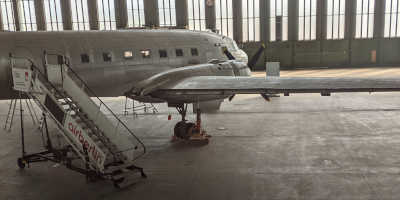
The Airport Building
At time of construction, the airport building was one of the largest buildings in Europe and is one of the few buildings constructed during the Nazi era in Berlin.
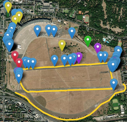
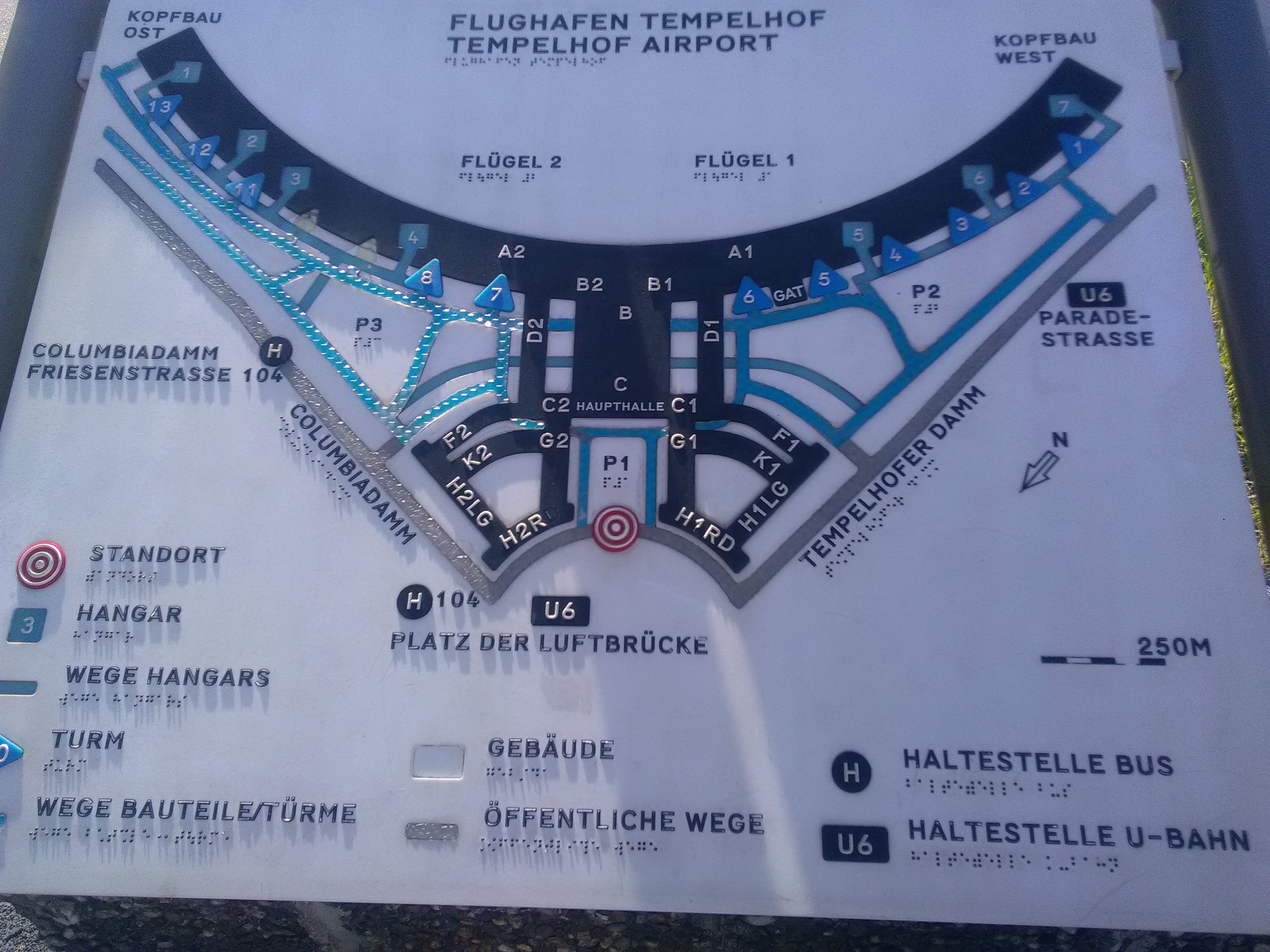
Interactive fieldtrip map
An interactive map presents a selection of photographs, video, audio, 360 photospheres, and relevent links to the Tempelhof field and building gathered during a field trip to the site.
Interview on current benefits, conflicts, and future development
Im Grunde ist das Tempelhofer Feld wie eine Projektionsfläche, wo sicher jede/r austoben kann
- Jana
Basically, the Tempelhofer Feld is like a projection surface where anyone can let off steam
- Jana
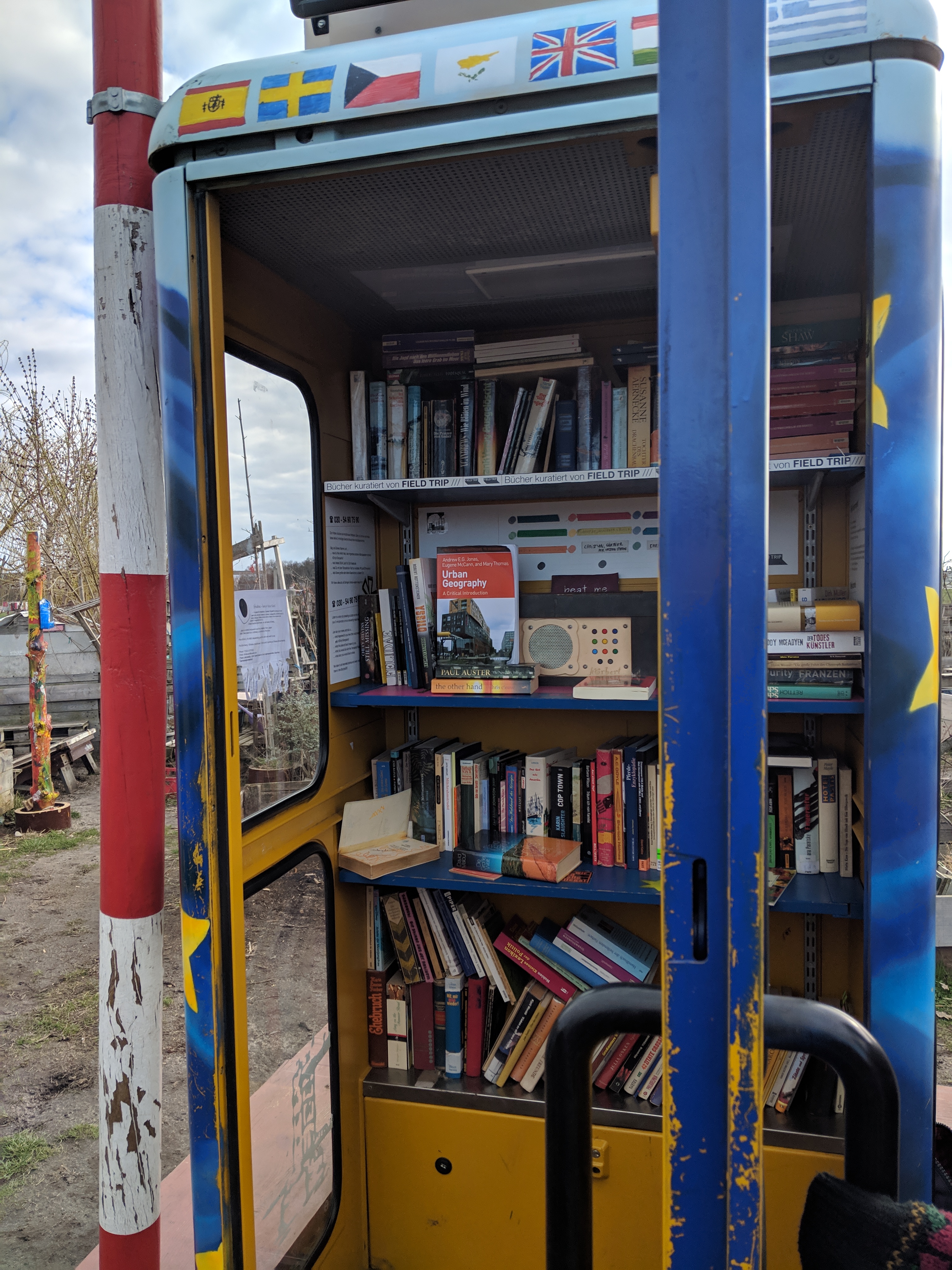
Pioneer projects
The Tempelhof Field offers space for experimentation and community engagement. Learn more about the process and some of the examples.
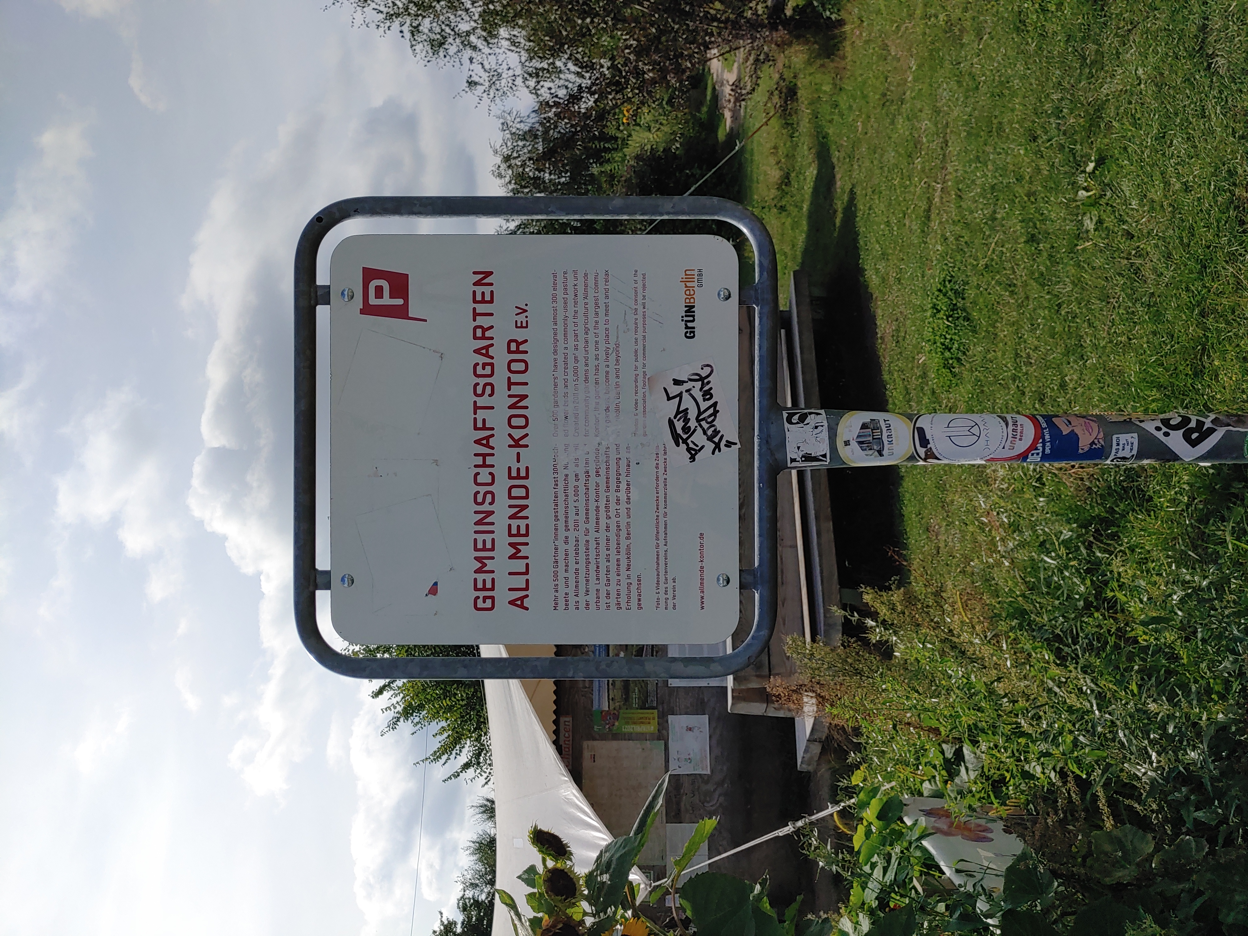
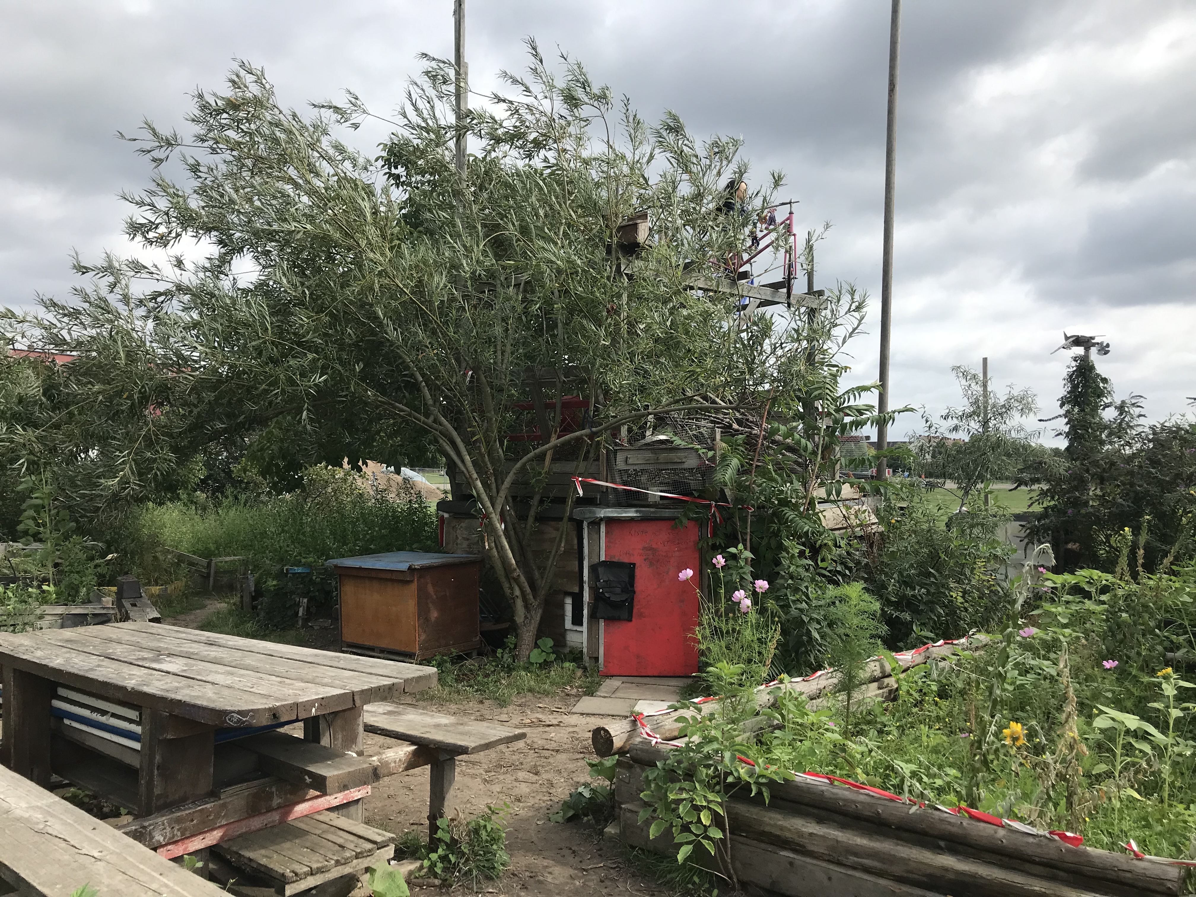
Urban gardening
Berlin has a large number of urban gardening projects which are established on undeveloped or temporarily available lots. Some are focused on urban agriculture and food production while others are more focused on providing communal spaces for interaction.

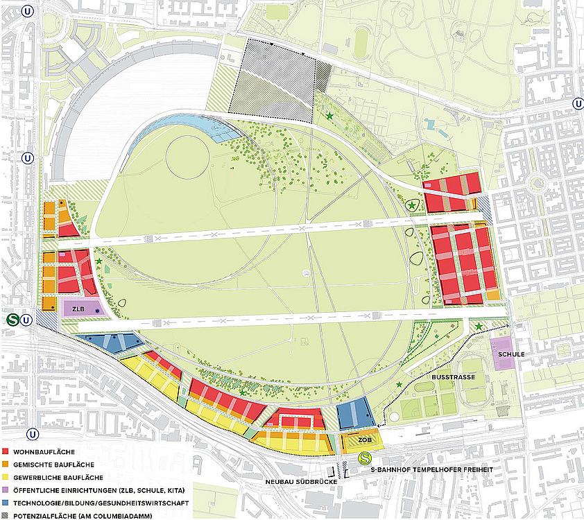
Current landuse
The area of the former Airport Tempelhof can be divided into two different parts. The larger part contains the Tempelhof Field as open urban greenspace (see land use map below). The area of the former airport building at the Southwest edge of the field together with the hangars is not part of the public space. The building, managed by the Tempelhof Projekt GmbH, provides office space, room for exhibitions and events including communal uses.
Landuse Conflicts
The transfer of the landuse from airfield to its current and constantly changing landuses was not without contestation, nor is it the end.